Projects on the verge of madness (or not…)
It wasn’t an aberration but an architectural triumph that Henri IV wanted to create as the “Place de France”. After Place Dauphine and Place Royale (today’s Place des Vosges), this semi-circular esplanade was to be built against Charles V’s city wall, at the current location of boulevard du Temple, and overlook the Marais. It’s still possible to see the plan, conceived by the engineers Aleaume and Chastillon. A metaphor for power, the streets that led to Place de France were to be named after the great provinces of the realm: Picardy, Dauphiny, Poitou, Brittany… Alas, the regicide Ravaillac put an end to this project. And the dream was buried along with the King. Instead, the entrepreneur Charlot began the development of all the land north of the Marais. Only the streets retain their “ex-future-names”: Poitou, Saintonge, Picardie, Forez, Beauce, Normandie…
A committee of artists was created under the Convention (in 1793), with the purpose of proposing new roads in Paris. Verniquet, Pasquier, Gombault, and Wailly were all members… Dissolved in 1797, its legacy was but one plan, entitled “artists map”, which shows a road linking place de la Nation to the Louvre.
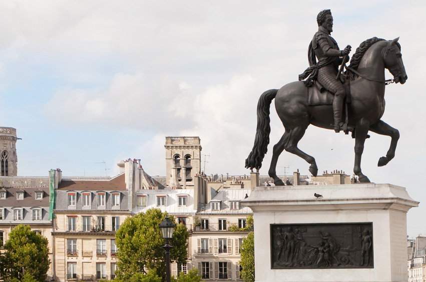
During the French Revolution, there were plans to replace the statue of Henri IV on the centre of the Pont Neuf bridge with a 104m high tower, 14m in diameter, dedicated to astronomy and physics…
Certain roads have failed to change their name: in 1918 the Champs Elysées narrowly missed being called “Avenue Georges Clémenceau”. Incidentally, it’s always surprising to discover that the Théatre des Champs Elysées is on avenue Montaigne, as opposed to the Champs. In the beginning, it was supposed to be located at the place du Cirque d’été, at the roundabout, but an organisation for the protection of the gardens won its fight… the theatre did however, keep its original name.