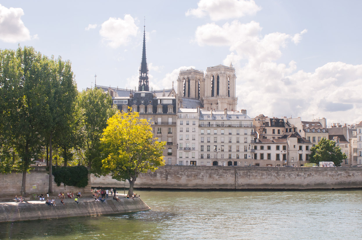
The Islands of City and Saint Louis
Even if we can’t say with certainty that Paris was founded on the actual île de la Cité (rather than at Bercy or Nanterre) it’s definitely here that it grew, where it was shaped, and where it underwent its countless transformations.
Originally covering a mere 8 hectares, the Cité has more than doubled in size (17 hectares today) through the addition of sediment deposited by the river, then the annexation of the Monte-aux-papelards (Eastern point) during the construction of Pont Neuf at the dawn of the 17th century. The quai des Orfèvres was originally an island, where the first hôtel Dieu (general hospital) was located; place Dauphine was another, where they burned Jews and Templars…
Its neighbour, the île Notre Dame (and the future île Saint Louis) was a green field in the middle of the river. In 1360, whilst Charles V encircled Paris with a wall, a canal was dug out slicing the island in two. Thus, the island became an archipelago, with île aux Vaches to the East and île Notre Dame to the West. Whatever the reason, the land was not made this way just for that. And the two islands remained a bucolic wasteland, a place to wander, to seduce. Hand in hand, we watched the sunrise there, as it appeared behind the green hills of Ménilmontant.
In 1614, the astute Poulletier, Le Regrattier, and above all, bridge entrepreneur Christophe Marie, threw themselves into this (sumptuous) real estate project. On the island, they constructed a series of buildings the harmony of which still fascinates to this day. The works were completed in 1650, and Marie died in 1653… penniless!
Saved from Haussman’s knife, île Saint Louis remains one of the most beautiful examples of pre-revolutionary Paris. Ile de la Cité on the other hand, contains nothing more than a few original streets and many shattered dreams. Haussman turned it into Paris’ administrative seat, and from that point on, Notre Dame’s shadow fell over the police and the judiciary. Sign of the times…